This is an old revision of the document!
vZTL - Atlanta Center - Lesson 3
This session is estimated to take roughly 90 minutes. Probably closer to 2 hours if we're being real.
STANDARDS TO ACHIEVE / Introduction to En-Route:
- Issue hazardous weather information utilizing prescribed phraseology
Holy shit… finally, something NEW! Weather. It's a phenomenon that we always experience, even when its as “boring” as CAVOK 1).
Weather presents a variety of challenges in the en-route environment for a variety of reasons. First and foremost, for all the advances that we've made in the field of meteorology 2), weather is still a highly volatile and unpredictable field. Airplanes will request to deviate around absolutely nothing, because they see something you can't/don't/wont!
Weather radar provides only one glimpse into the atmospheric conditions 3), but it doesn’t always tell us what the fluid of air that makes up our atmosphere is doing.
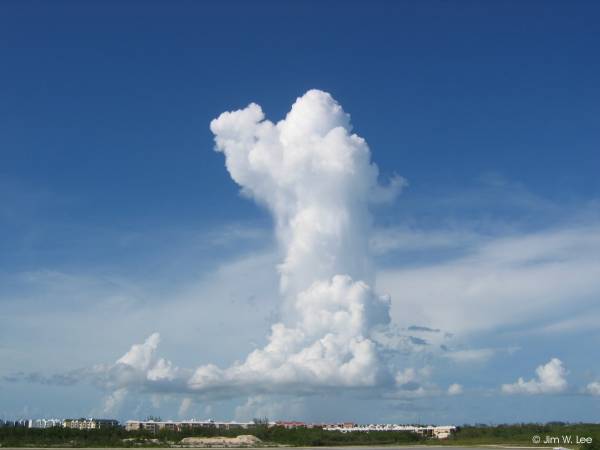
You gotta learn your clouds, son, doesn’t just make for good TV - it’s good practical practice, as well. What clouds are doing is an excellent indicator of the conditions of a parcel 4) in live time. Towering Cumulonimbus clouds are a warning sign of bumpy atmospheric conditions now and potentially devastating weather impacts later.

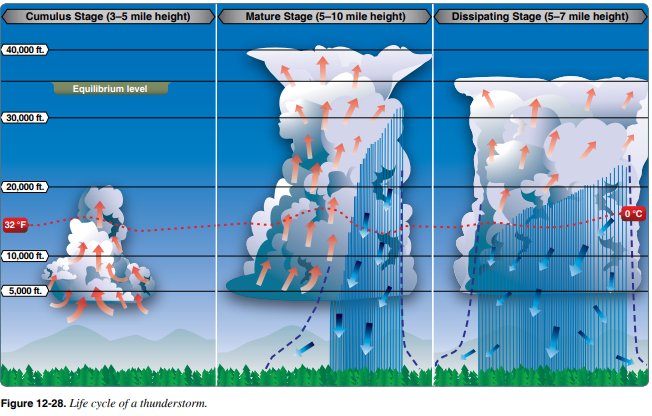
The Pilot's Handbook of Aeronautical Knowledge gives excellent insight into what the cross section of what Towering Cumulonimbus clouds tend to build up to.

Note the red arrows indicating the movement of air upwards5) and the blue arrows denoting the movement of air downwards6).
I wrote a whole bunch of shit but it got deleted. So, from scratch we go:
The 2nd and 3rd panels of the image above denote what would be displayed on your radar. Unfortunately, there is a significant delay between the event happening & it being depicted on your radar, as the process of scanning the atmosphere (both horizontally AND vertically), and compiling all the layers of data, takes a significant amount of time (upwards of 10-ish minutes). Airborne wx radar7) is usually faster at compiling weather radar, but is not as powerful and is also susceptible to errors.
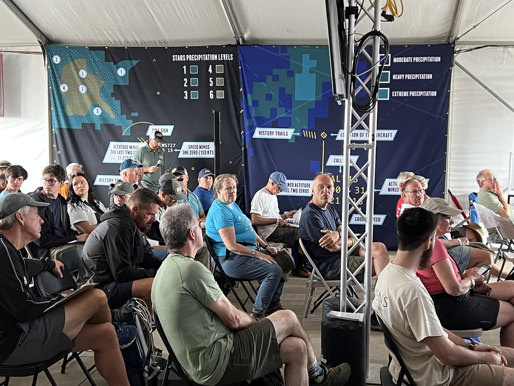
Here's what the weather should look like on your end:

STANDARDS TO ACHIEVE / Altitude Changes:
Define and compute basic descent math to ensure aircraft meet crossing restrictions
STANDARDS TO ACHIEVE / En-Route Control:
Utilize prescribed phraseology to alert crossing traffic of each other
OBJECTIVES TO ACHIEVE: For the session to be marked complete, the student must have successfully: Vectored and/or issued speed instructions to aircraft to meet Miles-In-Trail (MIT) requirements. Identified and ensured LOA items were followed and met. Issued a hazardous weather information call using prescribed phraseology Issued and terminated holding instructions